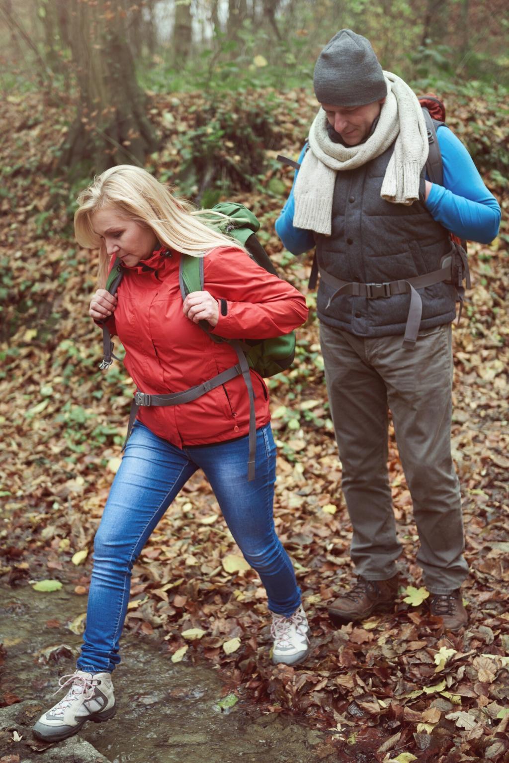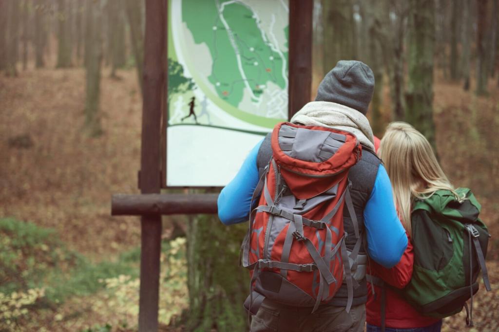

Map Literacy That Keeps You Found
A topographic map is a conversation between you and the terrain. Learn how 1:24,000 compares to 1:50,000, why trail classifications matter, and how water features, vegetation boundaries, and human structures are symbolized. Share your favorite map series in the comments and tell us which symbols you rely on most.
Map Literacy That Keeps You Found
Contour lines reveal slope, shape, and elevation—tight lines mean steep ground, broad spacing means gentle terrain. Notice spurs, reentrants, saddles, and convex or concave profiles to anticipate effort and hazards. Practice by tracing a route at home, then walk it and compare expectations to reality. Report your most surprising contour lesson.